Environment
Unprecedented Early Formation: Hurricane Beryl Sets New Records

Hurricane Beryl, the first hurricane of the 2024 Atlantic hurricane season, has rapidly intensified to a Category 5 storm unusually early in the year. This extraordinary development, driven by exceptionally warm ocean temperatures, aligns with NOAA’s prediction in May of an 85% chance that the 2024 Atlantic hurricane season would be above normal.
Explosive Growth
GOES-16 satellite imagery captured Hurricane Beryl as it quickly escalated from a tropical cyclone in the western Atlantic to a Category 5 hurricane in the Caribbean Sea. On June 28, 2024, Beryl began as a tropical depression with 35 mph winds. Within 24 hours, it intensified into a hurricane with 75 mph winds, setting a record for the farthest east a hurricane has formed in June. In the next 24 hours, it became a Category 4 hurricane, surpassing previous records set by Hurricane Dennis in July 2005.
The phenomenon of rapid intensification, where a storm’s wind speed increases by at least 35 mph in 24 hours, has become more common and is expected to increase due to human-caused climate change. Beryl’s intensification into a Category 5 hurricane by July 2, 2024, broke records as the earliest such storm in the Atlantic, previously held by Hurricane Emily in July 2005.
Catastrophic Impact
Beryl made landfall on Carriacou Island on July 1, 2024, as a strong Category 4 hurricane with 150 mph winds. The storm caused catastrophic winds and life-threatening storm surges in the southern Windward Islands. By July 2, Beryl became the strongest July Atlantic hurricane on record with winds of 165 mph, surpassing Hurricane Emily’s 160 mph.
Exceptional Early Development
The early formation of a major hurricane, especially a Category 5, is rare. The National Hurricane Center typically does not see the first major hurricane until September 1. Matthew Rosencrans from NOAA’s Climate Prediction Center highlighted Beryl’s unusual intensification in the tropical Atlantic, an area typically hindered by increased trade winds and wind shear.
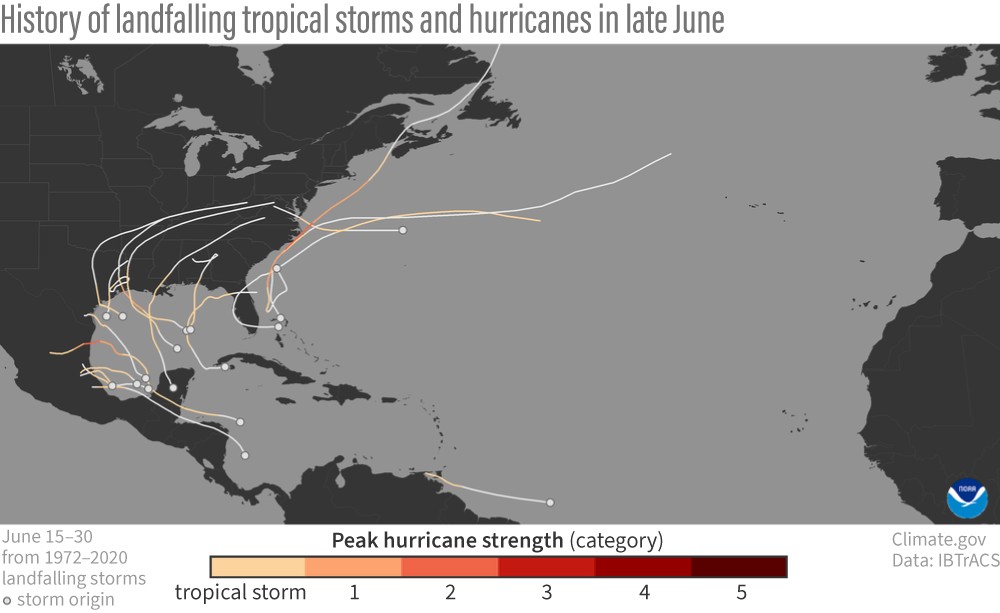
Historically, fewer than five hurricanes per 100 years develop in this region in June or July, with August and September being more common. This year’s record warm ocean temperatures and low wind shear created ideal conditions for Beryl’s rapid development.
Potential for a Busy Season
Sea surface temperatures on June 29, 2024, were significantly warmer than the average, creating ample fuel for hurricane development. While early and late-season activities often indicate an active season, the core season’s intensity remains crucial. The Atlantic hurricane season runs from June 1 to November 30, and Beryl’s early development may signal an intense season ahead, especially with La Niña potentially reducing wind shear further.
For the latest updates on Hurricane Beryl and its track, visit the National Hurricane Center.


