
GEA
Tanker / Handy, IMO 9292591
Where is the ship?
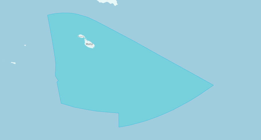
GEA is currently in the Maltese Exclusive Economic Zone, based on AIS data received less than 1h ago. Track GEA live using high-quality AIS by registering a free account in ShipAtlas by Maritime Optima.
Track live positionWhat type of ship is this?
GEA (IMO 9292591) is a Tanker/Handy ship built in 2005 and is sailing under the flag of Malta. She has an overall length (LOA) of 175 meters and a width (beam) of 31 meters. Her summer deadweight capacity is 39,999 tonnes.
Current voyage information

Register for free to view live position, current speed, draft, course and navigational status.
Last port calls
| Port name | Arrival time | Departure time |
|---|---|---|
|
Marsaxlokk (mt)
|
Thursday 9th October | Saturday 11th October |
 Zarzis (tn)
|
Monday 6th October | Wednesday 8th October |
|
Radès (tn)
|
Wednesday 1st October | Sunday 5th October |
Frequently asked questions
Where is GEA right now?
The current position of GEA in the the Maltese Exclusive Economic Zone, last seen less than 1h ago.
What type of ship is GEA?
GEA is a Tanker classified as a Handy.
How big is GEA?
GEA is 175 meters long (LOA) and 31 meters wide (beam).
Vessel details
| Name | GEA |
| Vessel type | Tanker / Handy |
| IMO | 9292591 |
| MMSI | 215924000 |
| Callsign | 9HAF8 |
| Flag | Malta |
| Year built | 2005 |
| Draft (summer) | 11.1 meters |
| Deadweight (DWT) | 39,999 tonnes |
| Length overall (LOA) | 175 meters |
| Width (beam) | 31 meters |


