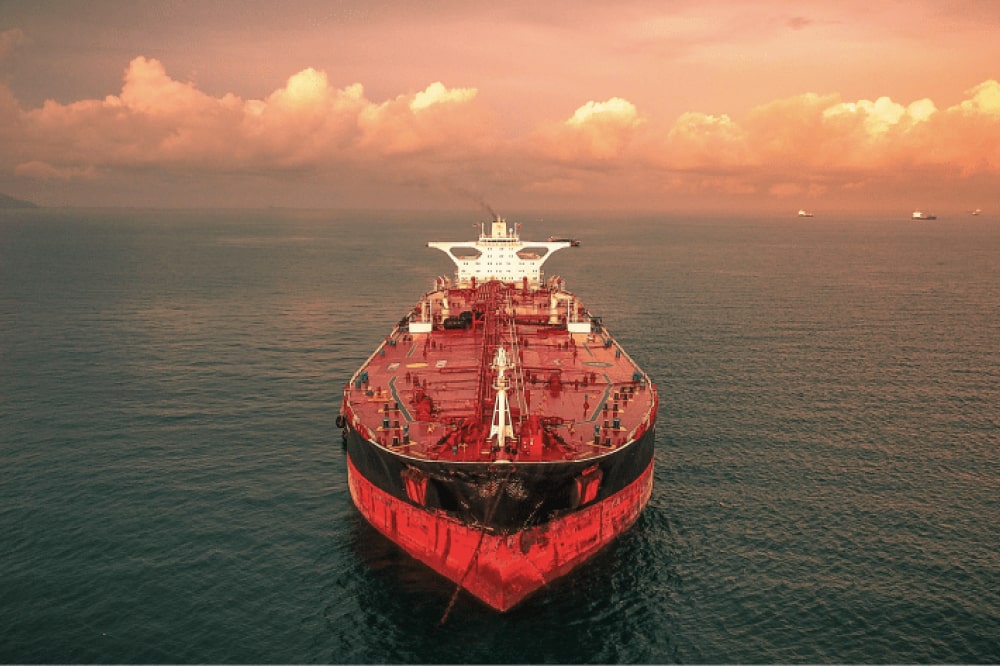
CAPE TAMPA
Tanker / Panamax (LR 1), IMO 9441166
Where is the ship?
CAPE TAMPA is currently in Freeport, based on AIS data received less than 1h ago. Track CAPE TAMPA live using high-quality AIS by registering a free account in ShipAtlas by Maritime Optima.
Track live positionWhat type of ship is this?
CAPE TAMPA (IMO 9441166) is a Tanker/Panamax (LR 1) ship built in 2009 and is sailing under the flag of Marshall Islands. She has an overall length (LOA) of 228 meters and a width (beam) of 32 meters. Her summer deadweight capacity is 73,719 tonnes.
Current voyage information
Register for free to view live position, current speed, draft, course and navigational status.
Last port calls
| Port name | Arrival time | Departure time |
|---|---|---|
 Freeport (bs)
|
Friday 10th October | |
 Limetree Bay (vi)
|
Wednesday 1st October | Saturday 4th October |
 Cartagena (co)
|
Monday 15th September | Saturday 27th September |
Frequently asked questions
Where is CAPE TAMPA right now?
The current position of CAPE TAMPA in the Freeport, last seen less than 1h ago.
What type of ship is CAPE TAMPA?
CAPE TAMPA is a Tanker classified as a Panamax (LR 1).
How big is CAPE TAMPA?
CAPE TAMPA is 228 meters long (LOA) and 32 meters wide (beam).
Vessel details
| Name | CAPE TAMPA |
| Vessel type | Tanker / Panamax (LR 1) |
| IMO | 9441166 |
| MMSI | 538090382 |
| Callsign | V7RC3 |
| Flag | Marshall Islands |
| Year built | 2009 |
| Draft (summer) | 14.497 meters |
| Deadweight (DWT) | 73,719 tonnes |
| Length overall (LOA) | 228 meters |
| Width (beam) | 32 meters |